12 years ago Google started the project called Street View, that captures the world at street level with the help of cars equipped with towering camera rig. The cars showcases company's corporate logo and roams around urban and rural areas around the world. Now, the technology giant has announced that it has captured around 10 million miles of street view imagery all over the globe. The distance, would amount to circling the Earth more than 400 times.
 The increase in Google Street View coverage since 2007 (Google)
The project was a brain child of Google's co founder Larry Page, his intent was to map the entire world. The company collects street imagery via a fleet of Street View cars, which are equipped with nine cameras that capture high definition imagery from every possible vantage point. Each Street View car has its own photo processing center and lidar sensors that use laser beams to accurately measure the distance.
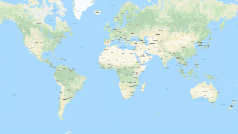
 Google has 36 million satellite images available for users to browse through (Google)
Google has also announced that it has captured satellite imagery of a total 36 million miles and mapped out the world where 98% of the population lives. It has 36 million satellite images available for users to browse through, the company uses a technique called photogrammetry to stitch several images together and provide a sequential view to the users. Maps have about 1 billion users that use this app on a daily basis.